 A few other tidbits from my last Indonesia trip...
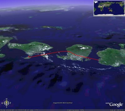
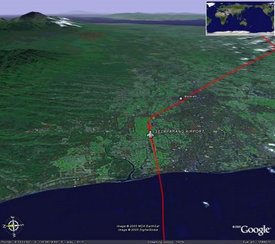
On the seaplane from Bali to the minesite I carried my trusty GPS and recorded the flights. To the left is a snapshot in Google Earth.
Below it are another couple... the second is a screenshot take looking at Bali (Denpasar Airport) and the third taken looking at Mataram on the island of Lombok. Note the volcano to the left.
If you want to have a look in Google Earth, just open this file
Other photos are:
- The seaplane the trips were done in (taken at Mataram airport)
- Krispy Kreme donuts in Sydney airport
- A panormaic shot taken of the pit at the mine. Definitely doesn't do justice to the scale of the thing!


.jpg)
1 comment:
BRAD!
That panorama is magnificent...
Post a Comment